I found some time this past week to do a little bit of Route 2 west of Greenfield, and headed out on a wonderful early afternoon. There wasn't a lot of humidity today as compared to earlier in the week so it was a perfect time to visit some more firehouses. The first stop was in the town of Shelburne and the village of Shelburne Falls at the firehouse on State Street.

 Of course we had to make a stop to view the glacial potholes in Shelburne Falls. This was a popular swimming spot up until just a few years ago-but the area has since been fenced in so that you can't climb down to them. Too much liability for the town for swimmers to be there now as the water "whirlpools" in the potholes and you can drown if you aren't careful. The water was low during our visit, so you can really see some of the rock formations well. One of the largest glacial potholes in the world is at this location.
Also in the village is the famous "Bridge of Flowers", which originally was a trolley bridge for the town. At 400 feet in length, visitors can walk along the bridge and enjoy over 500 varieties of plants and flowers. I hadn't been here in about a decade, so it was nice to take a stroll across before the next firehouse.

After leaving the village, the next stop was to the Shelburne's second firehouse, on Little Mohawk Road.

Slightly above Shelburne and to the east is the town of Colrain, so we backtracked on Route 2 a little bit to get to this one on Main Road.


Apparatus on the side of the firehouse
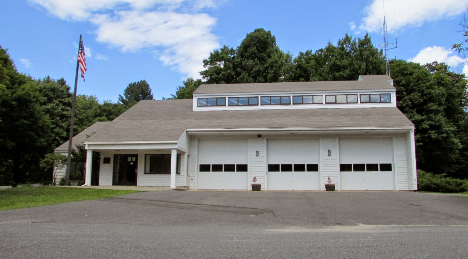
After the town of Colrain, it was westbound to the town of Heath, where the firehouse shares space with other town departments on Branch Hill Road, including the police station and highway department.

First truck of the day was outside at the time of our visit!

Passing through the countryside, we were off to the town of Rowe. Along the way, we made a stop by Pelham Lake, which is located just north of the firehouse and has some great hiking trails around the area. One interesting fact which I personally know of, the lake's parking area houses "Clive" restrooms. If you have never heard of these types of composting toilets before, you need to read up on them at this link-pretty cool stuff. ( What are Clive toilets? ) I was singing a "tiny little organisms" song on the rest of the way to the firehouse and driving Bill nuts. <grin>
 |
| Pelham Lake |
 |
| Rowe firehouse |
The firehouse in Rowe is located on Sibley Road. Across the street in front of the town hall offices, there is a cool old style phone booth. No working phone inside, but there is a note that if you need to make a call, you can go inside to the town hall to do so.

The next stop was supposed to be the town of Monroe, but after going down the side of a very large hill in low gear to get there, we discovered unfortunately that the bridge we needed to cross to get there was under construction. The firehouse in Monroe was just a mile (so close!) after the bridge, so after backtracking a couple of miles trying to get around the detour unfortunately my GPS gave me the warning that the battery was almost dead. We belatedly realized that the cord had decided to disassemble itself in the car's battery charger a couple of hours prior, and faced with no GPS capability and lack of cell service to use our phone's GPS functions we were pretty much screwed. Since I didn't want to go down potentially narrow and hilly dirt roads to get over to the Monroe firehouse (yes I'm a little paranoid of them after sliding around the same in the state of New Hampshire) I decided to call it a day and head back down towards Route 2. Luckily, we came down the hills to Route 2 in the town of Charlemont, and passed right by the firehouse on the way back.

This firehouse gave me my mojo back, and we headed south on Route 112 to get to the town of Buckland, for one more firehouse of the day.

Happily, the firehouse here on Hodgen Road also had a vehicle outside, so it was a good ending to the afternoon.

Until I can locate another cord for the GPS things are on hold for a little bit for more firehouse trips unfortunately. Of course we are going to have to take the car's console apart to get the rest of the plug out of the battery charger as well. Five weeks left of the summer for me before I have to return to work and real life, and we have about five more trips to make to complete the firehouse runs. The pressure is on.
Update- An additional run was done on 7/26, finishing the rest of the Route 2 corridor. The first stop was below Route 2, in the town of Hawley. This is a volunteer firehouse, and is located on Plainfield Road. Beautiful countryside around the firehouse by the way-lots of farmland all around.


Luckily for me, there were a couple of trucks
outside the firehouse in the adjoining field!

The next stop was in the town of Florida (not the Sunshine State version) where the firehouse is located right along Route 2, on the Mohawk Trail.
 |
| Pig roast in a week there to benefit the firehouse! |
The last stop was to the town of Monroe, where we had been stuck on the wrong side of the river by the bridge closure last week. Since my GPS was now working again with a new cord, I was determined to get to the firehouse today. Unfortunately, this trip was not without peril. I had to travel down the side of the mountain to get to the firehouse on School Street. Along the way, I went by the town highway department-that had a couple of old fire engines for sale outside. I figured I would stop there on the way back, but it was not to be. Continuing down the steep hill, which was treacherous with potholes and dips, even in low gear my brakes were getting, well, lets say quite warm. By the time I reached the bottom and turned onto School Street, lets just say I had my left foot ready to hit the emergency brake as the brakes were so hot that I was putting the pedal to the floor just to slow down. I pulled into the firehouse, located next to the town offices, and had to give the car a rest before continuing on. On the bright side, my brakes aren't squealing any more as the rough spots have been now ground down completely.
 |
| Monroe Firehouse |
Now I was faced with a dilemma, do I go back up the hill to try to get "Station 2" of Monroe, which is just one bay within the town highway department? Since I had to go to North Adams for the evening, I wasn't too thrilled with the prospect of going up then back down the hairpin turn and down the steep grade of the Whitcomb Summit with brakes that had already been burning. I decided to seek an alternate route there, to find that my GPS refused to turn back on. Worse, I needed to pee (in the worst way) and lets just say the main drag of Monroe wasn't offering any possible options. Luckily, I had cell service, so I was able to google an alternate route that didn't involve steep grades to North Adams. Unfortunately, it involved going NORTH! over the border to the state of Vermont, and then west over to Route 8 to head south to North Adams. I didn't have much of a choice in the matter if I didn't want to kill myself going down the mountain so north it was.
Twenty minutes later I arrived in North Adams, an hour after I had planned on arriving there, and shortly after felt much better <grin>. Of course when I returned home later tonight, I tested the GPS and the darned thing worked just fine. A good thing I didn't hurl it into the river on my way to Vermont.
Below is a photo of station 2 in Monroe-you can see here what helped me to decide not to make the trek back up the hill for just the one bay.

No comments:
Post a Comment